The Wetlands Restoration Project
Southern Lake - Civil Engineer's Plan
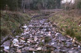
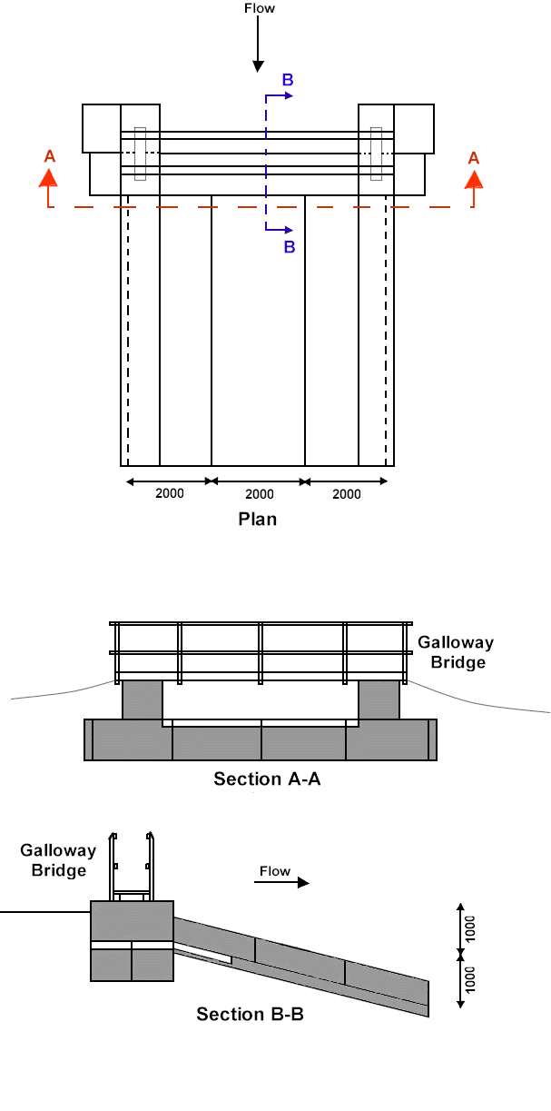
Below are the Civil Engineer's diagrams for the spillway at the western end of the Southern Lake (see map). The large stones forming part of the spillway (image -above) reduce the speed and energy of the water as it flows over, helping to prevent it from eroding the water course further down stream. The depth of water in the lake above the spillway is maintained by a sluice which was built at the same time as the spillway. Much of the spillway structure was built using gabion baskets which are represented by grey boxes in the diagrams below. The Galloway bridge is a wooden footbridge spanning the spillway.
|
|
Schematic diagrams - not drawn to scale |