|
The
Woodland Education Centre |
|
|
The
Woodland Education Centre |
|
Ecological Surveys 1996 - 1998
Species Distribution on the Project Site| The northern sections of the project site (5 - 9) were the most favourable for the development of heath species. Sections 1 - 4 (below) still had many woodland species and were strongly influenced by bordering woodland. They showed little sign of regenerating heath vegetation. |
 |
 |
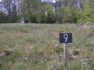 |
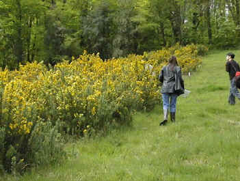
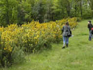
| Sections 1 - 4 | Control strip - section 5. | Section 9 |
| The distribution of
species across the project site was not uniform. There are three factors which account for
this: environmental variations; habitat management; and differential grazing by wild
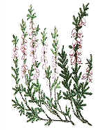
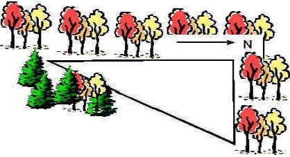
animals. Environmental conditions will vary across the project site. Environmental factors include the nutrient status, pH, and water-holding capacity of the soil, as well as the site gradient, microclimate, the available seed bank in the soil and neighbouring habitats. All of these factors will influence which species colonize a particular region. The second major factor influencing plant colonization is the different management regimes applied to different sections which will be discussed in more detail elsewhere. Selective grazing (both in terms of which plant species are grazed and which sections of the site are preferred) by rabbits and Roe Deer may also be an important influence. The complex interaction of all these controlling factors determines the location and dominance of individual species on the heathland site. The establishment of the major heath species such as Heather, Bell Heather, Gorse, Bristle Bent and Polytrichum was mainly occurring in the northern sections of 5 - 9 on the project site (Figure below). |
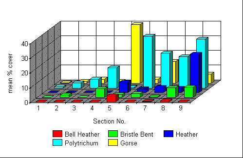 |
Distribution of major
heath species on the project site in 1998 |
It is likely that this
skewed distribution was mainly due to variations in environmental factors. The
northern-most sections (5 - 9) are more open, less affected by neighbouring woodland and
have a much dryer microclimate. In contrast, sections 1 - 4 form a triangular area (on the
left in the diagram below), surrounded by woodland on the western and south-eastern sides
and bounded by section 5 on the northern side.
Section 5 is the control section. At the beginning of the experiment in 1996, the maximum height of the vegetation in this section was less than 1 metre.
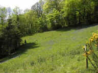
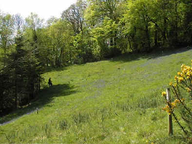
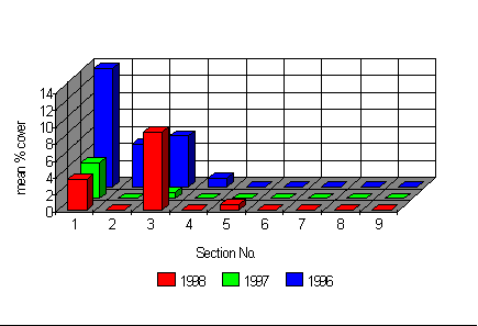
The influence of the woodland on sections 1 - 4, was well illustrated by the distribution of bluebells (a remnant woodland species) on the site. |
 |
 |
Sections
1-4 of the Heathland Restoration site. |
The distribution of Bluebells on the project site. |
Continue to plant species diversity
Ecological Surveys 96 - 98 |