The Wet Woodland Plant Survey
Survey Methods
| Two methods of surveying were employed
across the Wet Woodland Area. One looked at the ground level plants and employed a
random sampling method. The other survey method covered all trees greater than 2m in
height, recording the percentage of each species in an area, along with other data such as
the maximum height attained by each species.
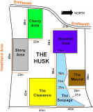
Initial inspection of the Wet Woodland revealed six distinct areas. 1) Wet Seepage
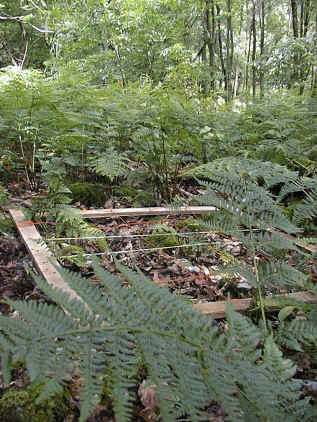
Ground Level Plant Survey Method For our survey purposes, ground level plants were limited to all those up to and including 2 metres in height. Each of the six areas was treated separately for the purposes of the survey. To avoid a huge work load in data collection from the entire Wet Woodland area, a method of sampling was employed called Stratified Random Quadrat Sampling.
|

