|
The Woodland Education Centre |
|
|
The Woodland Education Centre |
|
General Site Description
The Heathland Restoration Project area comprises a
hillside sloping approximately west (top) to east (bottom). The area is roughly triangular
in shape, with the point of the triangle forming the southern end, and the broad base
forming the northern end. It is bounded by woodland on all sides except for half of the
eastern region.
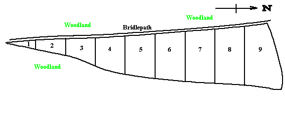
The project area has been divided into nine longitudinal strips which run east/west up and down the slope. These are managed in different ways.
Strips 1 - 4 form the southern area of the triangular heathland
restoration area. Strip 1 is situated in the point of the triangle. These strips are
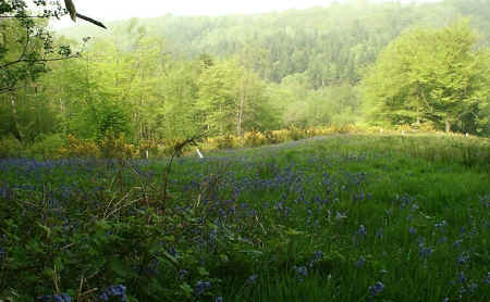
bounded by woodland on all sides. The western end of the strips is adjacent to the
tall Bluebell woods, while to the south is immature coniferous woodland. This is not as
tall as the broadleaf woodland and as it is lower down the slope, it does not overhang the
restoration area as much. It therefore has less of a shading effect than the western
woodland. Intermixed with the coniferous trees are a few taller broadleaf trees such as
Sweet Chestnut.
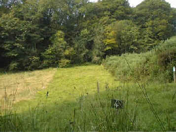
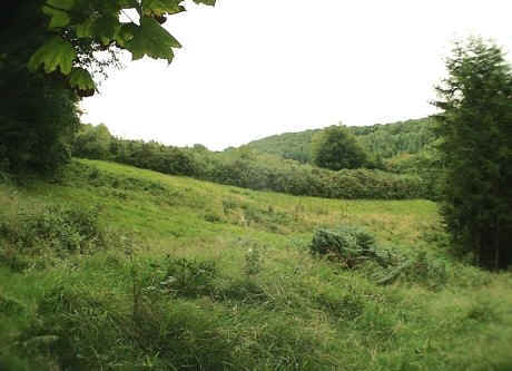
Looking north from the point of the triangular area (Strip 1)
towards Strip 5 (the control strip)
The northern boundary of the Heathland Restoration
Project area is formed by an area of wet woodland. This initially contained many
non-native cherry trees which seeded extensively all over the project site. These cherry
trees have since been removed from the Wet Woodland, as part of a habitat restoration
program. The remaining trees in that area are mostly willow, birch, oak, beech and Holly.
|
Continue to >> Soil Description
Ecological Surveys 96 - 98 |